Distances are approximate straight-line directions from the city centre. Always visit, check current local data and take professional advice.
Leicester · City centreLeicester City Centre
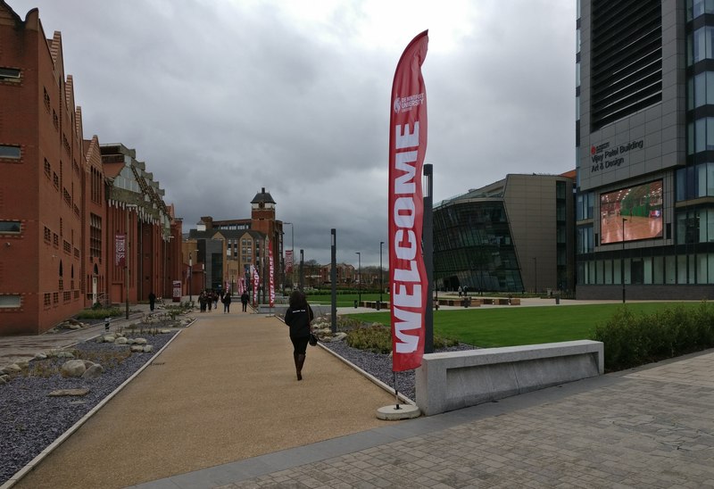
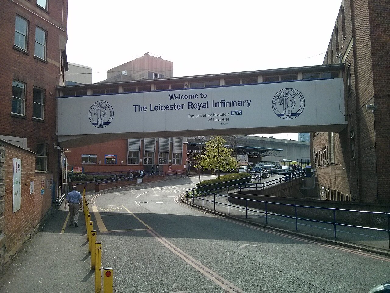
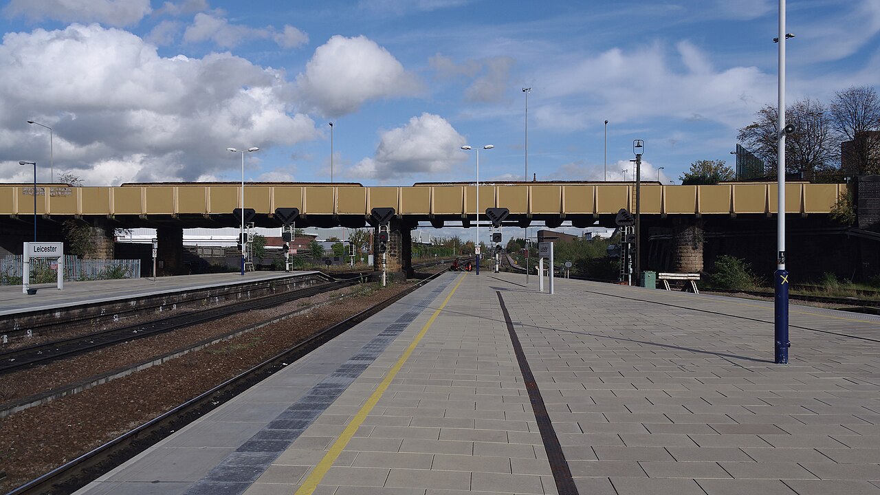
The commercial and cultural core, with Highcross, Haymarket, Leicester Market, Curve and the railway station. Transport: Leicester station and the main bus hub. Nearby: DMU a short walk away, Royal Infirmary close by. Homes: apartments, conversions and some terraces on the edges. Relevance: may suit renters wanting convenience; compare service charges and local supply.
Leicester · about 3 miles south-eastOadby
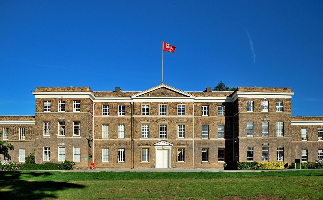
A suburban town on the south-east edge, with a high street and Victoria Park nearby. Transport: bus links to the city and the A6. Nearby: University of Leicester student accommodation is located in Oadby (check the university's current list). Homes: mixed housing; check the stock street by street. Relevance: family and student-linked lets may be options; check pricing and licensing.
Leicester · about 4 miles southWigston
A town south of Leicester with a shopping centre and local amenities. Transport: bus links to Leicester and nearby road connections. Homes: mixed housing; check the stock street by street. Relevance: may be examined for buy-to-let and refurbishment projects; check local rents and condition.
Leicester · about 3 miles south-westBraunstone
A large residential area on the south-west side of the city, with local shops and parkland. Transport: bus routes to the centre. Nearby: Glenfield Hospital is a short distance north-west. Homes: mixed housing; check the stock street by street. Relevance: could suit buy-to-let; check condition, tenant demand and resale evidence.
Leicester · about 3 miles north-westGlenfield
A suburb and village area on the A50 corridor, home to Glenfield Hospital. Transport: bus links to the city and road access to the A46 and M1. Homes: modern estates, semis and some larger detached homes. Relevance: may appeal to healthcare staff; check commute times and local supply.
Leicester · about 5 miles northSyston
A town north of Leicester with a high street and its own railway station. Transport: rail and bus links towards Leicester, plus the A46 and A607 for road access (check current services). Homes: semis, bungalows and newer developments. Relevance: may be considered by commuters; check local rents and demand.
Leicestershire · about 11 miles northLoughborough
A market town with a university and a railway station on the Midland Main Line. Transport: East Midlands Railway services to Leicester, Nottingham and London, and the A6 and M1. Nearby: Loughborough University (19,451 students, 2023/24) and East Midlands Airport. Homes: terraces, semis and student housing. Relevance: student-led lets and HMOs may be investigated; check licensing and the supply of student housing.
Sources: University figures as above; distances and descriptions are our general geography and have not been measured for a specific address.